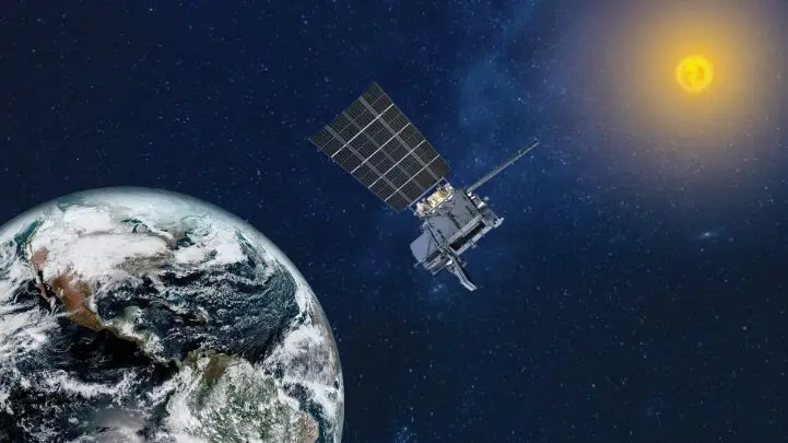
NOAA’s GOES-19 satellite, the fourth and final satellite in the GOES-R Series, is now officially operational as GOES East as of April 7, 2025.The satellite originally launched on June 25, 2024 and its instruments, systems, and data performance have been thoroughly tested since then. GOES-19 is now the primary satellite monitoring the eastern United States and Atlantic Ocean region.
In its new role, GOES-19 will track hurricanes and tropical storms in the Atlantic Ocean basin, as well as monitor severe weather, atmospheric rivers, wildfires, volcanic eruptions, and other environmental events affecting the contiguous U.S. The satellite will also deliver high-resolution visible and infrared imagery, atmospheric measurements, and real-time mapping of lightning.
Additionally, GOES-19 is equipped with space weather instruments to monitor the sun, including NOAA’s first compact coronagraph instrument (CCOR-1). CCOR-1 images the solar corona (the outer layer of the sun’s atmosphere) to detect coronal mass ejections, which can disrupt Earth’s magnetosphere, leading to geomagnetic storms, auroras, and potential disruptions to technology.
The new satellite and the new capabilities will support weather forecasters, emergency managers, first responders, the aviation and shipping industries, and many others, helping to further NOAA’s mission of protecting life and property.
This also comes at a historic moment for the GOES program. The first GOES satellite was launched in 1975, marking the 50th anniversary of NOAA and NASA’s partnership.